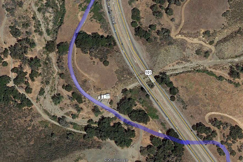
Location #5

I call this location the Moseby Loop. It is located about 1/2 mile due south of the Moseby winery tasting room on the west side of the freeway and is on Moseby property. It took me a long time to finaly get permission to go in there, but persistance paid off, and I was finally able to get in touch with Bill Moseby, and he was kind enough to give me permission to go inside the gate, and take these pictures. I would also like to thank Mark Mendenhall, Chris Duncan, and Les Alexander for pointing me in the right direction.

The loop is accessed from the locked gate on the north end just off of the southbound freeway lanes, it curve around back toward the highway and crosses over Nojoqui creek with a concrete bridge that was built around 1915.

Aerial View

View looking south from the gate on the north end.
Looking east toward the access from the southbound lanes.


View looking south from a little further south.

Still looking south. The old worn down concrete road appears.
A bit further south facing north. Note the strange pattern in the concrete here.. I still have no firm explanation for this.

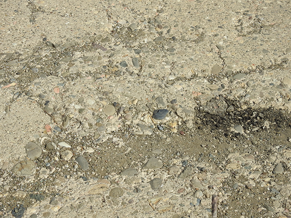
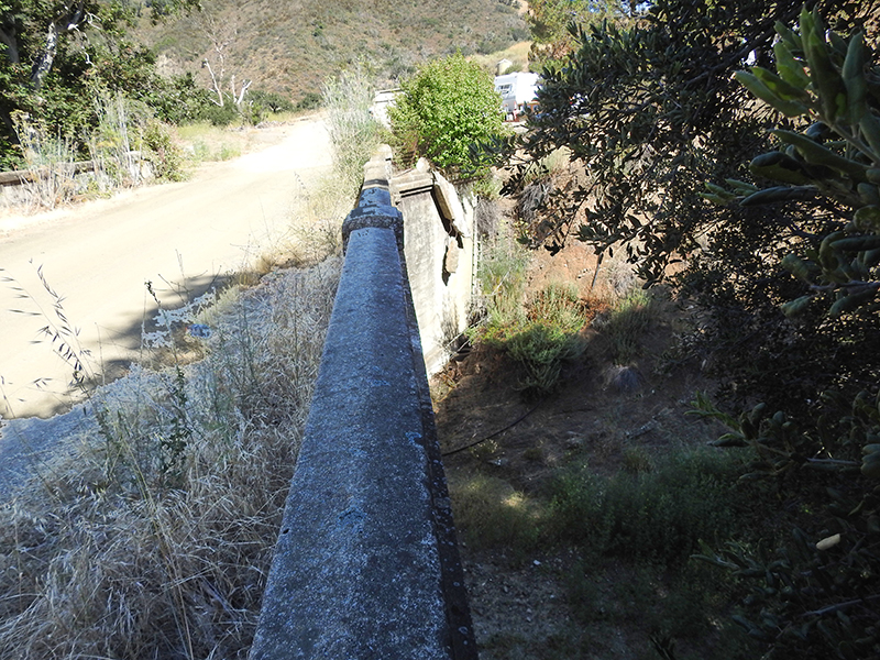
Close up showing the thinness of the slab here.

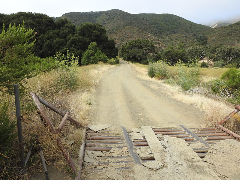
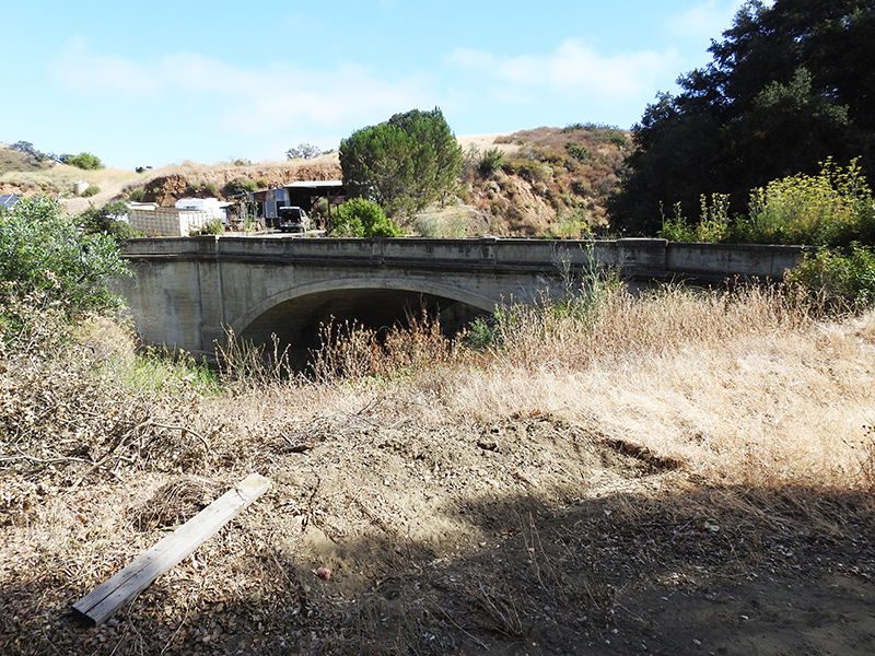
View looking south. The bridge is in at the top.

The east side of the 1915 concrete bridge.

View of the west side of the bridge. It's all pretty overgrown here.

View of the bridge facing northeast.

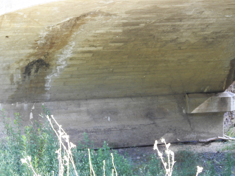
The under side of the bridge.

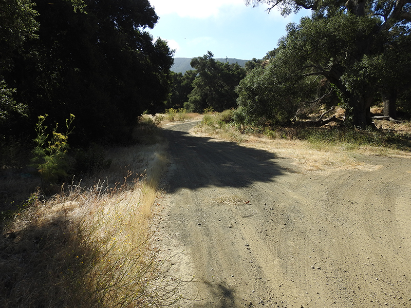
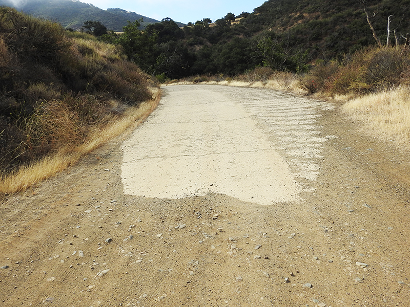
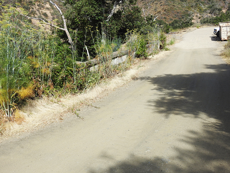
View looking south as the alignment curves back toward the freeway.

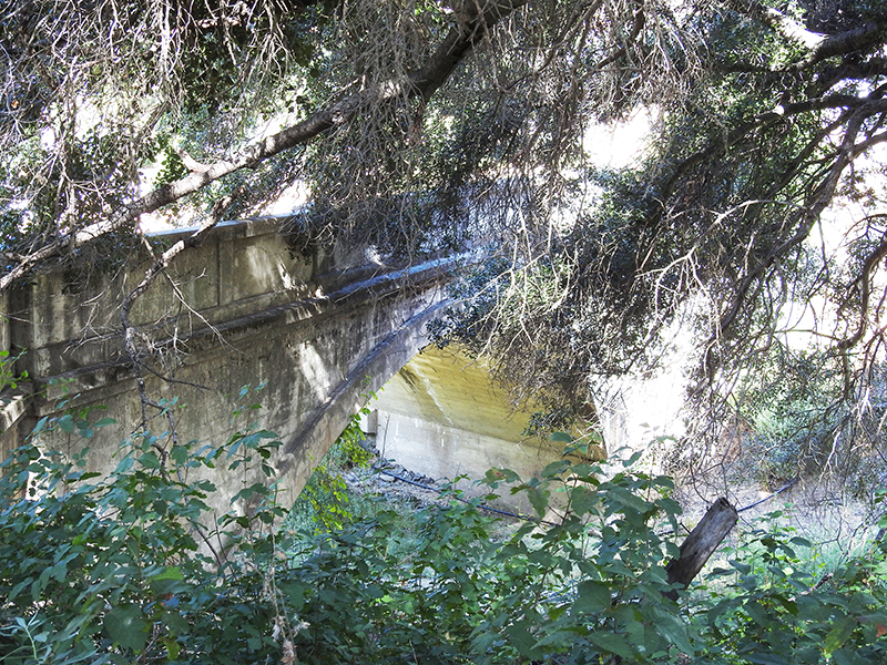
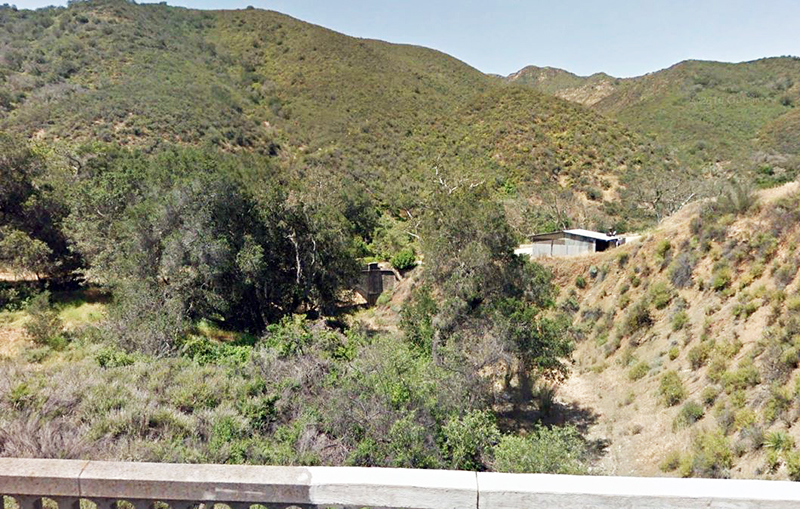
The east side of the bridge looking northwest. Very overgrown and dark in here. Poison Oak, and ticks, too.
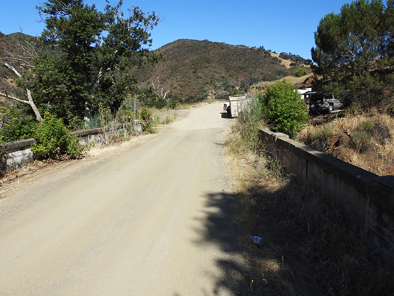
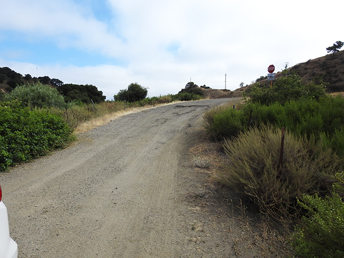
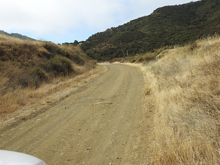
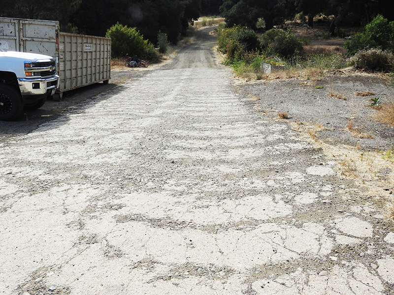
View looking north.

I tried to get a shot of the side here. Not so good.

View looking west from the southbound freeway bridge.


Historic101 Home | Section Home

Copyright ©2003 Historic101.com® all rights reserved