This is just east of the freeway looking east. SLO creek is to the right.
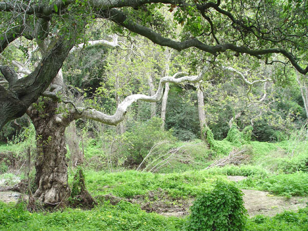
This was just such a nice spot, I had to get a shot of SLO creek here.
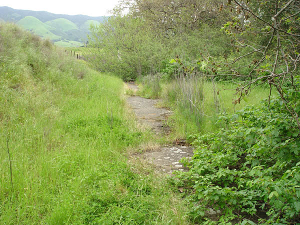
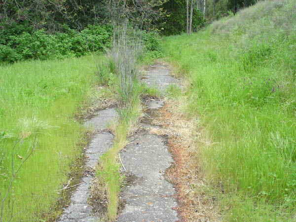
View looking west.
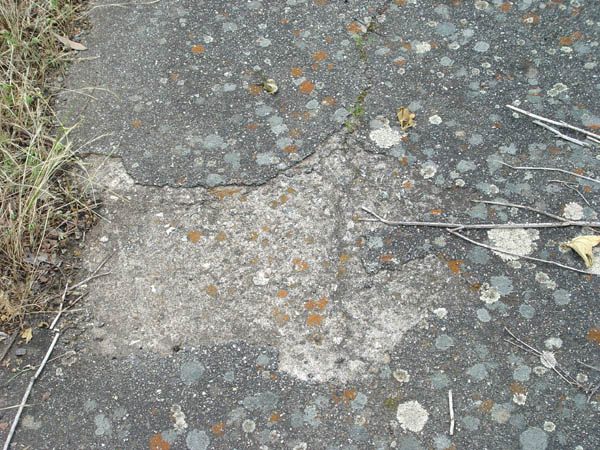
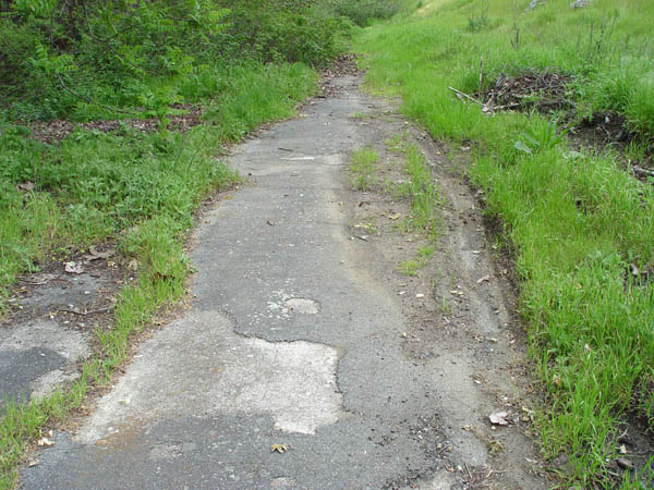
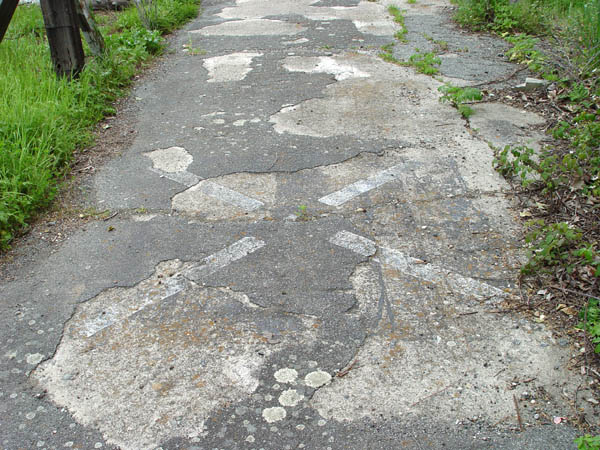
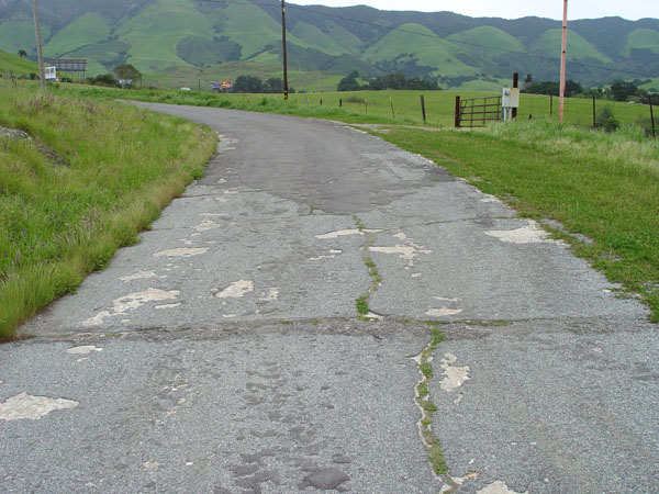
Close-up showing the weathered old cement with asphalt patching.
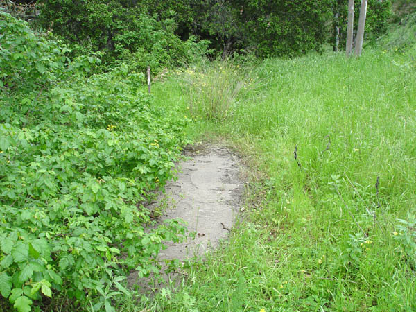
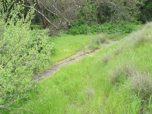
Another view facing west near the creek.
This is facing southwest, and shows the creek in the background.
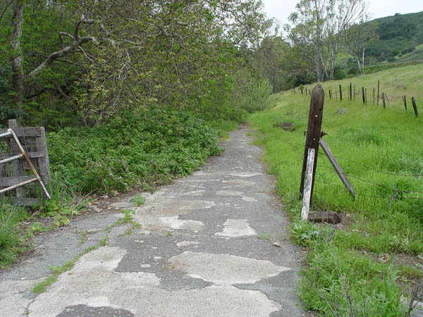
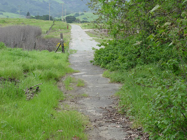
View facing west near the entrance at the south end of Fox Hollow Rd.
View looking west from the gate at the end of Fox Hollow Rd. on the property of Tom Dawson.
Closer view of the same location as the above picture showing a very old survey benchmark.
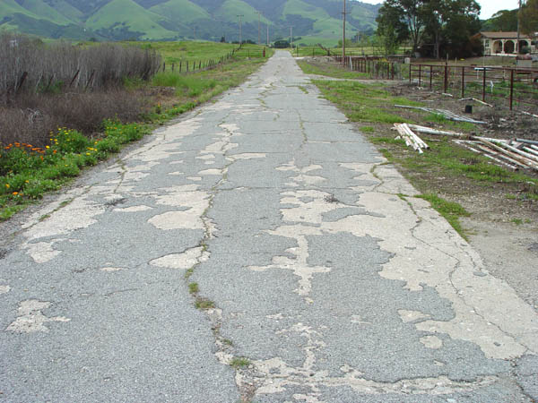
Same spot as above looking east past the Dawson home on the right side.
Another view looking east, a little further up.
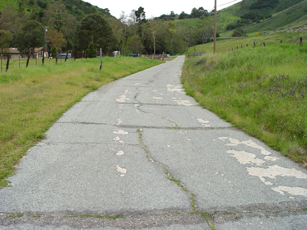
View looking west from where Fox Hollow Rd. veers north.
Same spot as the above photo looking northeast.
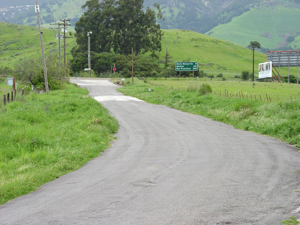
View looking north as Fox Hollow Rd. instersects the freeway, and the 1932 alignment.