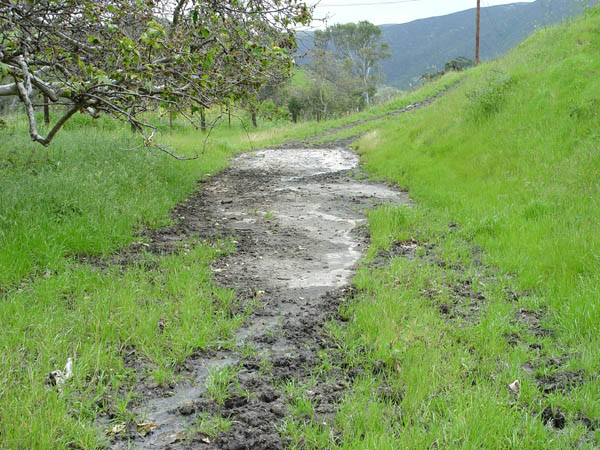
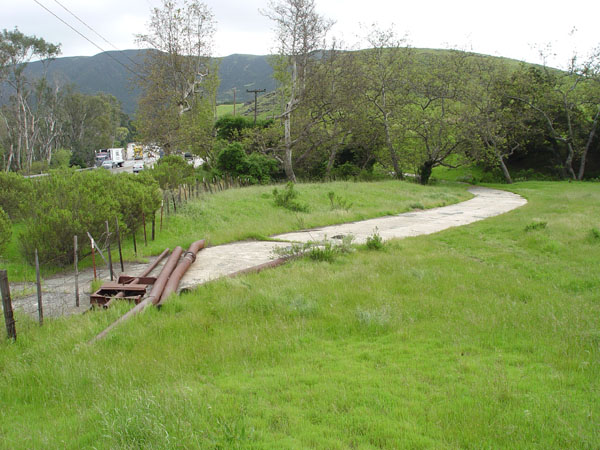
This would be the south end of the loop looking south. The freeway is to the left on the other side of the fence.
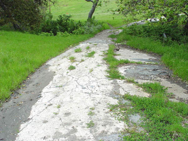
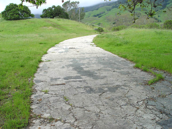
View looking north as it approaches the small bridge.
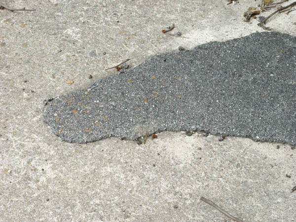
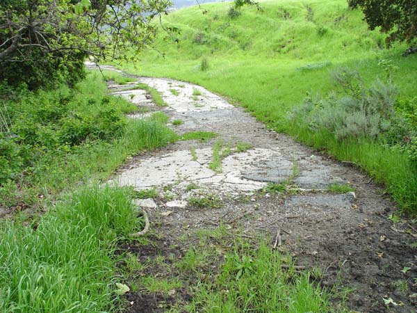
Close-up showing the familiar cement with asphalt patching.
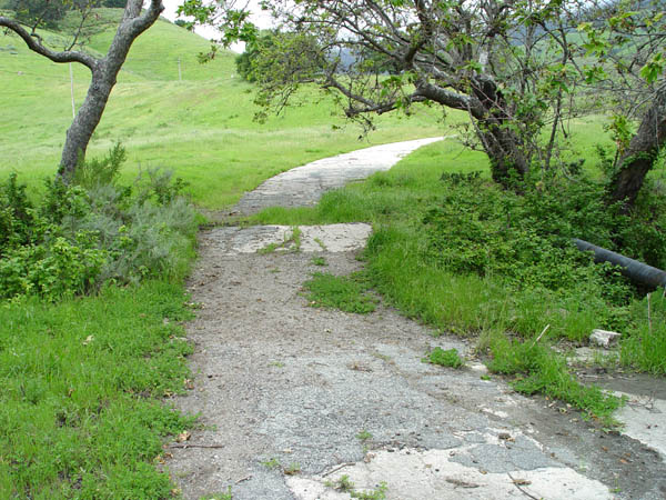
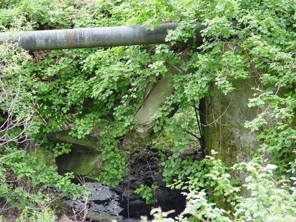
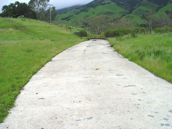
View looking north of the small bridge.
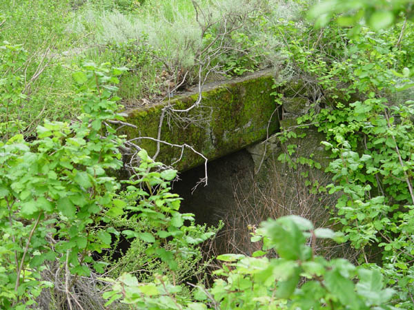
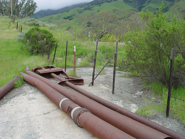
View showing a portion of the west side of the bridge.
Its very overgrown, but you can see that at some time, the original bridge failed, and the top was replaced. The broken halves of the old surface were left underneath.
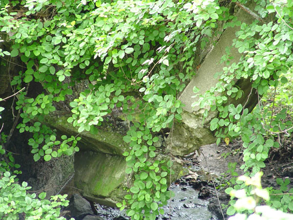
Closer view of the failed bridge section.
View facing south with the bridge in the foreground.
This classic shot is just north of the bridge looking north as the old path loops toward the current freeway.
Another shot facing north a little further up.
View looking north from the end of the loop. You can just barely see the freeway in the background.
From a position on the side of a hill just at the north end of this location, you get a good view of the loop here looking south with the freeway visible on the left.
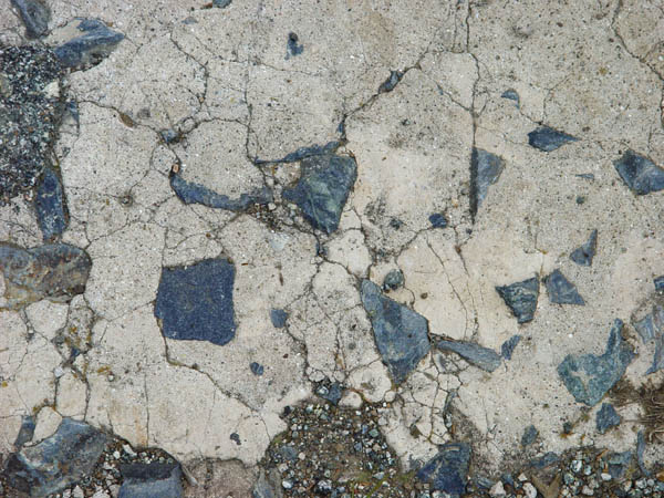
This is a very different matrix in the cement here. Possibly some local serpentine rock was used here.