Location #6
This area is just to the north of section
#5, and contiunes north to the summit of the grade on the east side of the current
freeway. It also includes some shots from the very top of the grade. As of 2/7/04,
this section is largely incomplete because of difficulties getting to several
of the canyon areas by foot.
Updated 6/09/05.... When I took the shots
for location #A, I decided to hike up the side of the cut on the east side of
the freeway at the very top of the Cuesta Grade. This small section of the old
cement road is about 30feet vertically above the current freeway.
 |
View looking southeast of the
last canyon before the summit.
|
 |
View looking east of a small
section of the old road just south of the summit. |
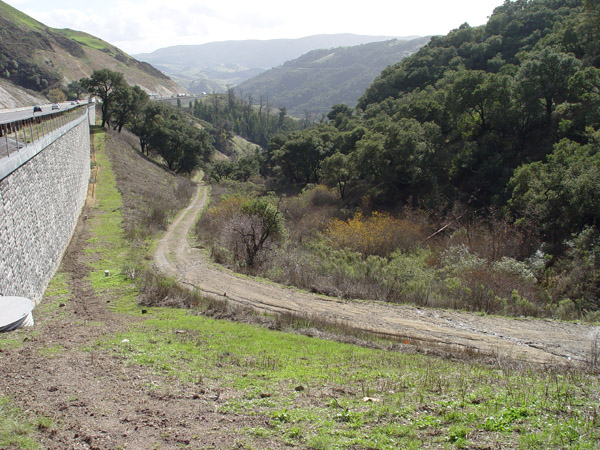 |
View from south end of parking
area just below the summit. The dirt road follows the original path used
by mules and oxen in the days of the missions and before Stagecoach Road
was built. |
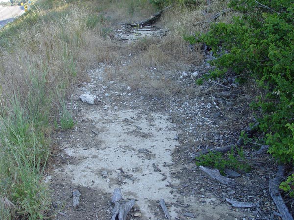 |
This is the section that I shot
up the cut on the east side of the freeway. |
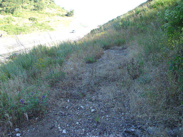 |
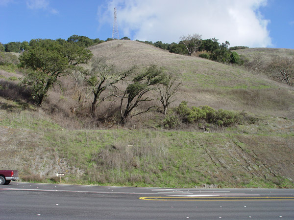
View looking north with the
summit in the background. |
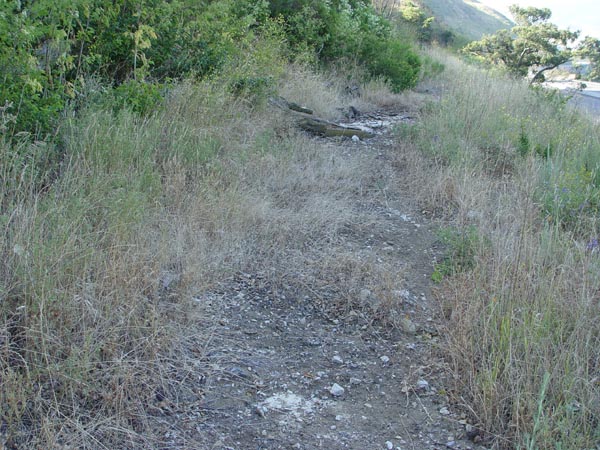 |
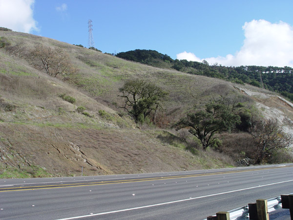
View looking south down the
grade. |
Historic101 Home |
Project Home | Section Home
Copyright ©2003 Historic101.com® all rights reserved