Location #5
Locations #4 through #7 were all accessed
from a locked gate at the northern end of the property owned by Sam Avila. This
gate is located on the east side of the freeway about a mile south of the Alvarado
Rd exit. Margaret Avila was kind enough to meet me at the gate, and let me in
to capture these images, and all the milage measurements used here are relative
to this gate. This area is one of the most beautiful in the entire project,
and I hope you enjoy looking at these shots as much as I enjoyed taking them.
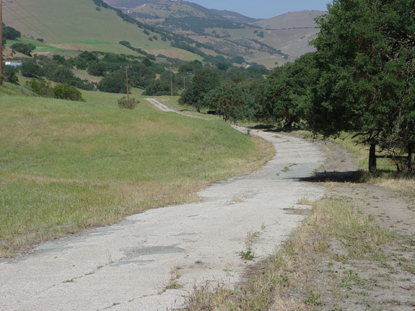
Location #5 covers the old route in the
area from 1.9 miles to 2.5 miles from the north gate. This is now on the property
of Sam Avila.
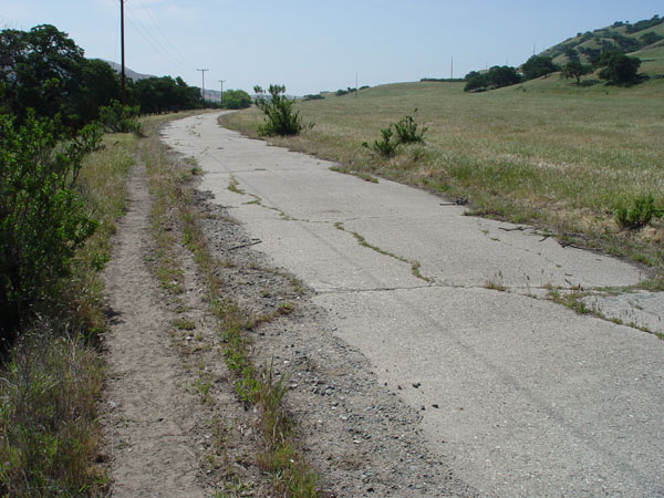 |
2.5 miles south of the gate. View
looking south. |
 |
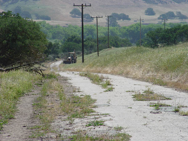
Same location as the above photo.
View looking north. |
 |
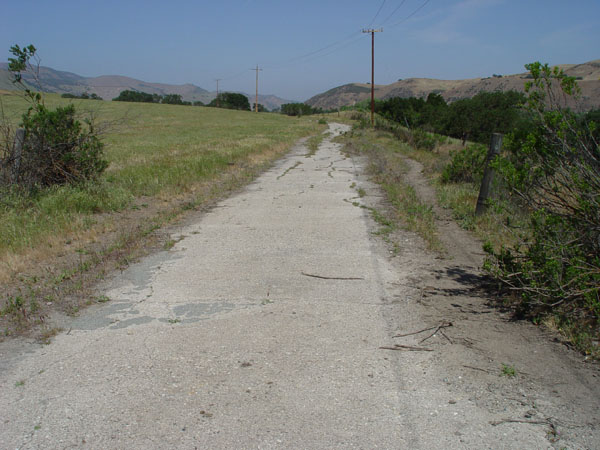
2.2 miles south of the gate.
View looking south. |
 |
Same location as the above photo.
View looking north. |
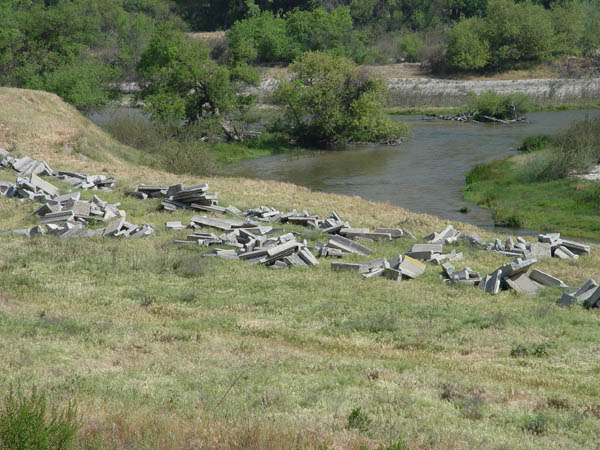 |
View looking east from the old
road at a place where some cement pieces were used as rip-rap on the Salinas
river. 1.9 miles south of the gate. |
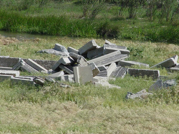 |
Closer view. This is not the
old highway. |
 |
1.9 miles south of the gate.
View looking north. |
Historic101 Home | Section Home
Copyright ©2003 Historic101.com® all rights reserved