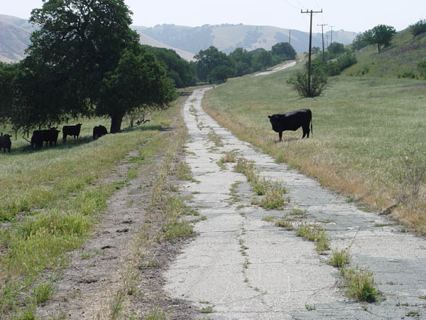
1.6 miles south of the gate. View looking south. These cows were checking me pretty close.
1.5 miles south of the gate.
View looking south.
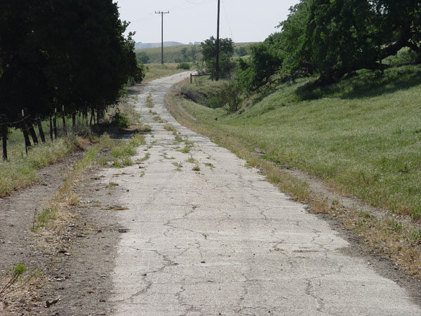
Same place as the above photo.
View looking north.
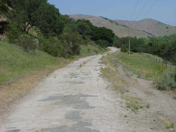
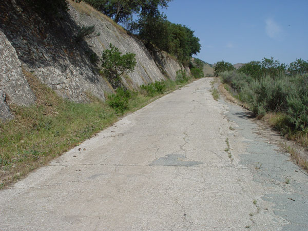
1.1 miles south of the gate.
View looking south. Note the wonderful shale bedding planes exposed in
the cut here.
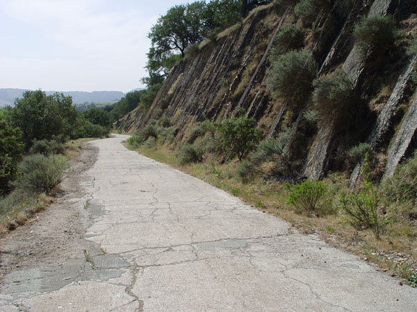
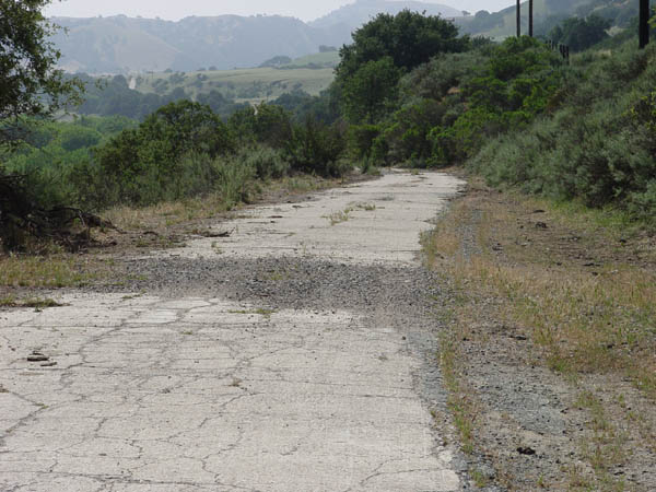
Same spot as the above photo
looking north. The bedding planes look like a wall when viewed from this
direction.
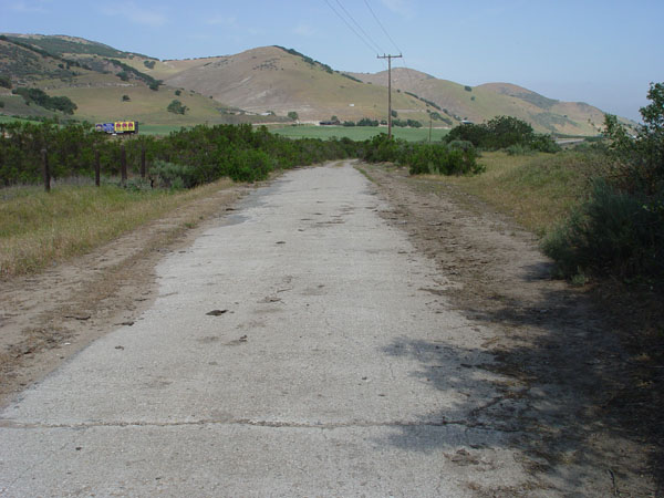
.9 miles from the gate. View
looking south as the road drops to the south into the Salinas river flood
plain.
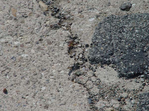
Close-up showing coarse gravel
matrix and asphalt.
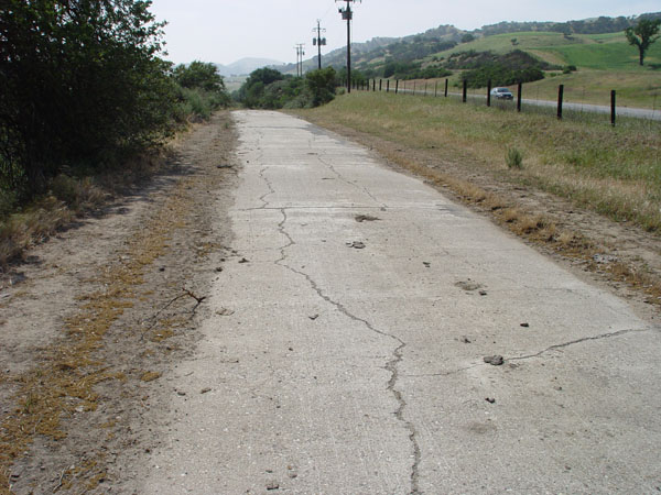
View facing south from just
north of the above photos. Freeway is close here on the right.
Same place as the above photo.
View looking north.