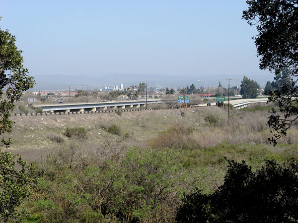
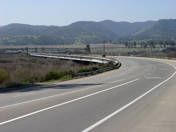
View looking north from the west side of the current 101 freeway.
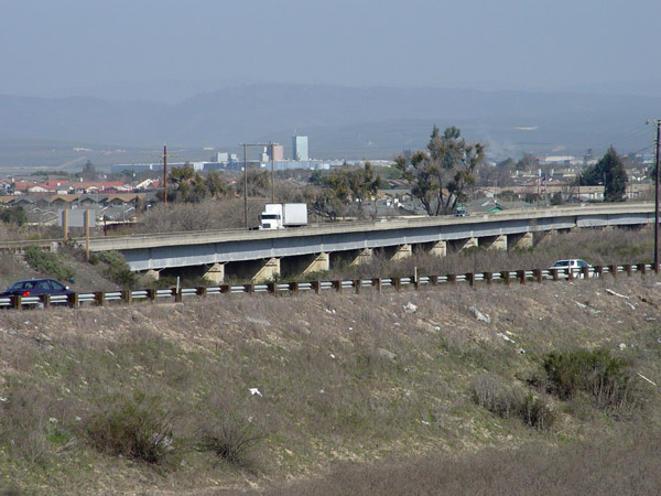
Same angle as the above photo
with the northbound bridge in the background.
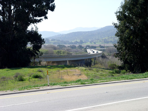
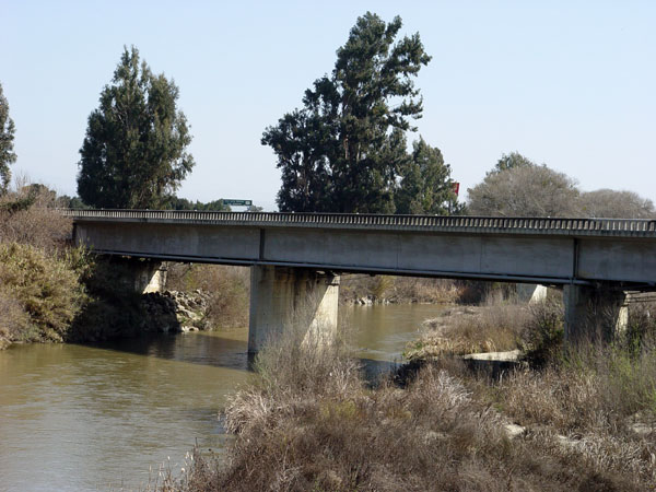
View looking southwest of the
southbound bridge.
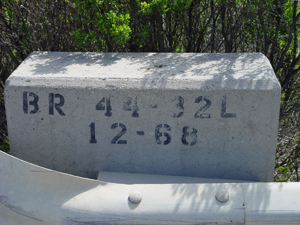
The build date on the southbound
bridge. December, 1968.
View facing west of the northbound
bridge.
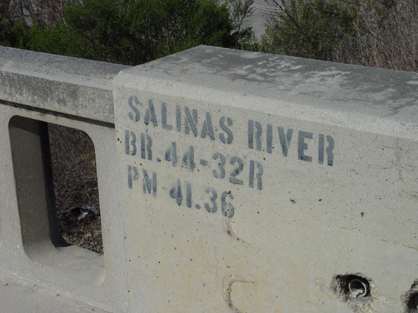
The Cal-Trans label on the northbound
bridge.
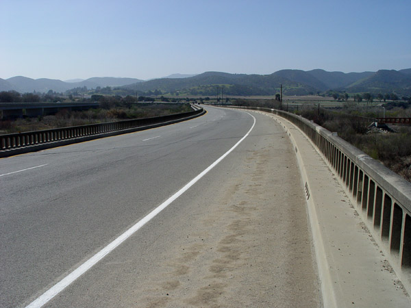
View looking southwest on the
northbound bridge.
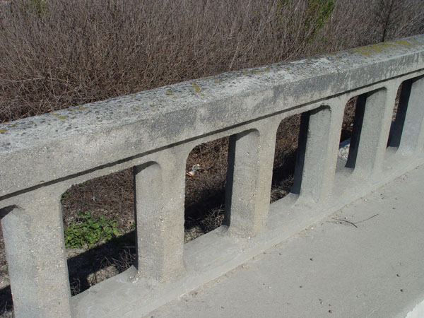
Close-up of the rails on the
northbound bridge.
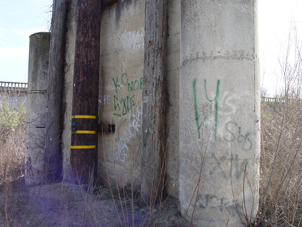
View of a northbound bridge
support
View looking east from the side
of the northbound bridge.
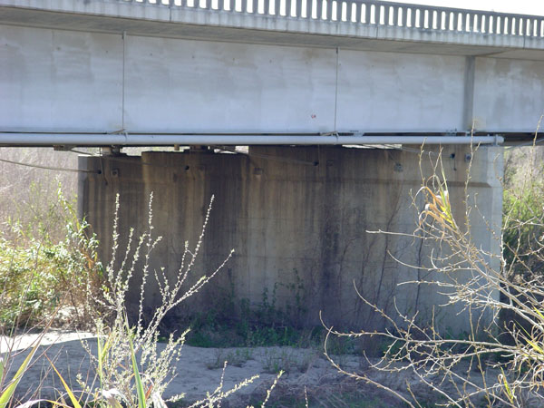
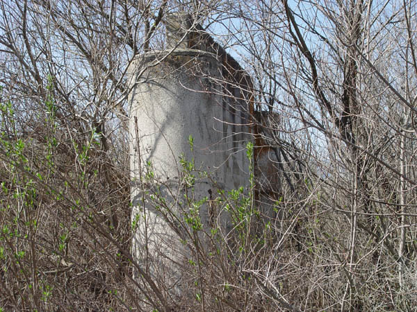
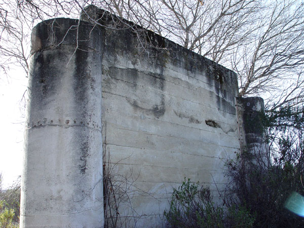
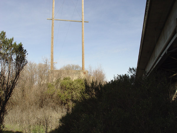
A concrete support for a previous
bridge just west of the current northbound bridge. #1 of 4 such supports
aligned from north to south. All are about 25' wide and 125' to 150' apart.
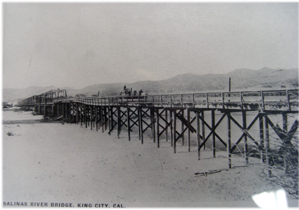
These supports seem to match
the four supports seen in this old photo.
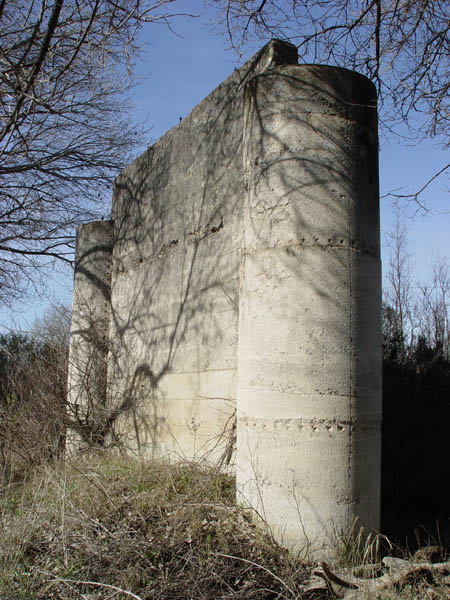
Another shot of support #1
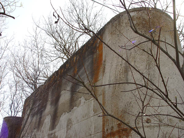
Looking up from the base of
support #1
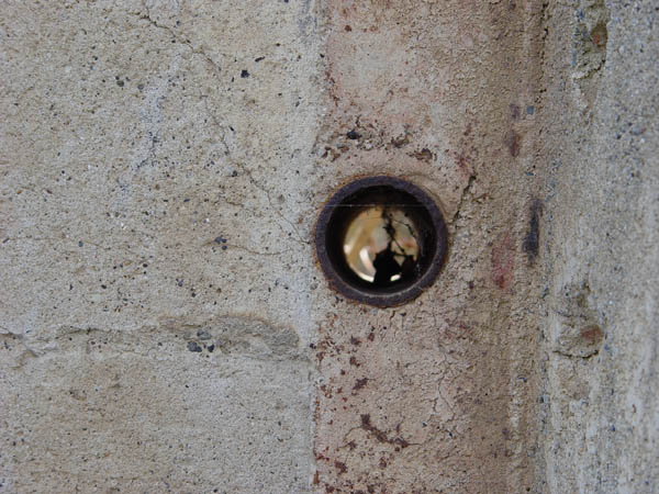
These small pipes go up both
sides of the center of the support.
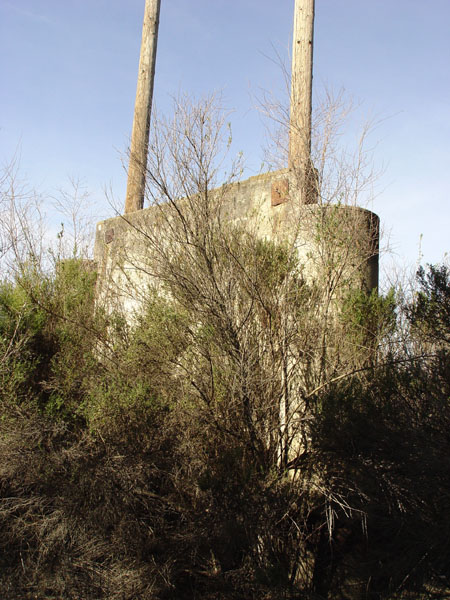
Support #2. Just next to the
walking trail.
Another shot of support #2
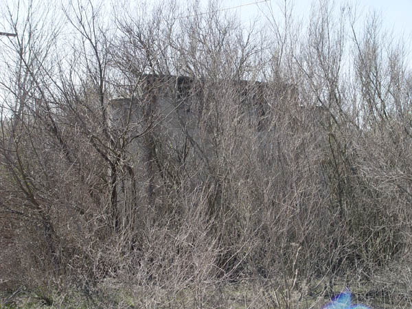
Support #3
Another view of support #3
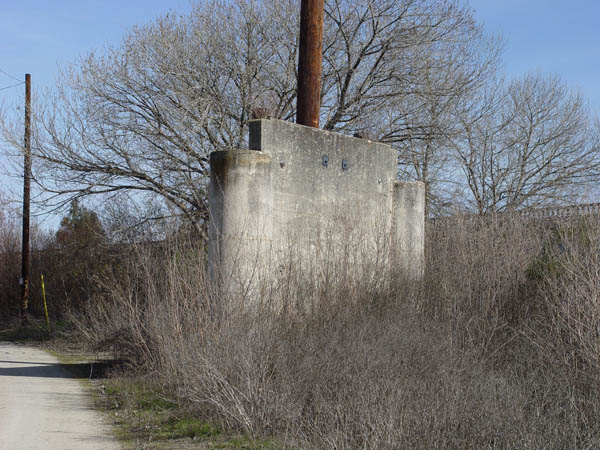
Support #4 is only a few feet
from the current northbound bridge.
Another view of support #4 with
the northbound freeway bridge visable to the right.
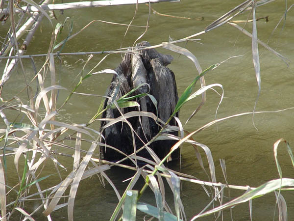
This is on the edge of the river
about 100 ft northeast of support #1, and may be the remains of a wooden
piling.
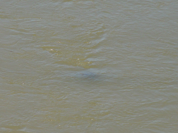
Another possible wooden piling
remnant just northeast of the above photo location. Its barely visible
underwater. A week earlier it was above the water line.
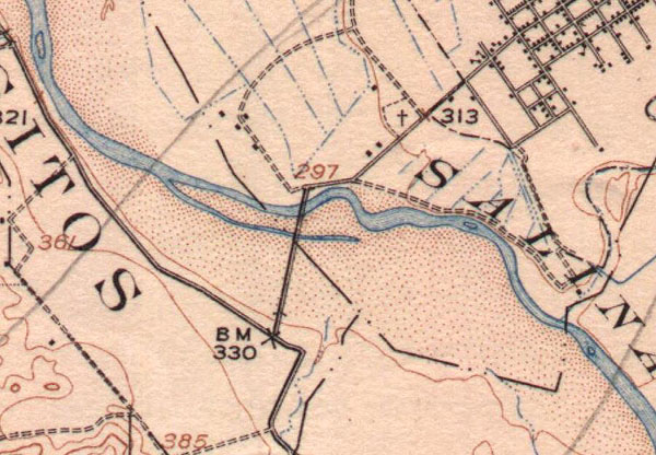
This is from the 1919 USGS topographic
map showing a bridge aligned over the Salinas River that matches up with
the 4 old bridge supports.
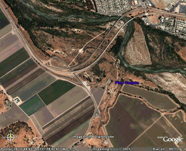
A current aerial shot of the
bridge area.