Location #4
"The Swamp" ...Or at least
that's what property owner Dave Burson calls this section of the old pre-1930
highway that loops around his field at 1615 S. Thompson Rd. According to Dave,
when Thompson Rd was built as the highway back in 1930, it dammed up the drainage
that previously flowed into the creek, and created a very wet area in the winter
on his side of the road. Too wet, in fact to get in there and shoot close up
shots of the old cement in the winter. I will return in the late Spring to finish
shooting in this location, and will update the page at that time. Until then,
I have a few shots taken from the hill on the west side of Thompson Rd., and
an aerial photo of the location.
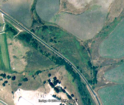 |
This areial photo clearly shows
the old 1912 route that loops around Dave Burson's property, and the drainage
that was blocked by Thompson Rd. |
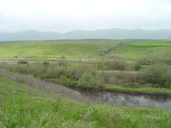 |
Wide view of the area looking
east from the hill near the tomatoe farm. |
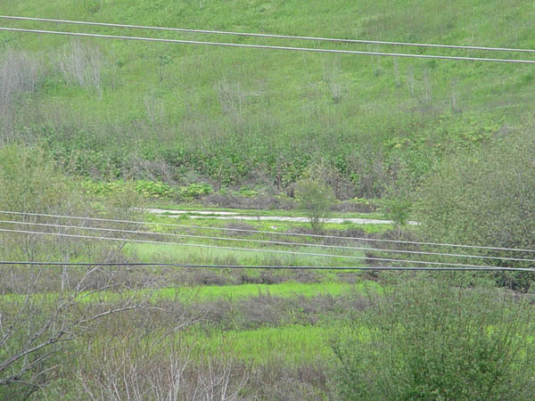 |
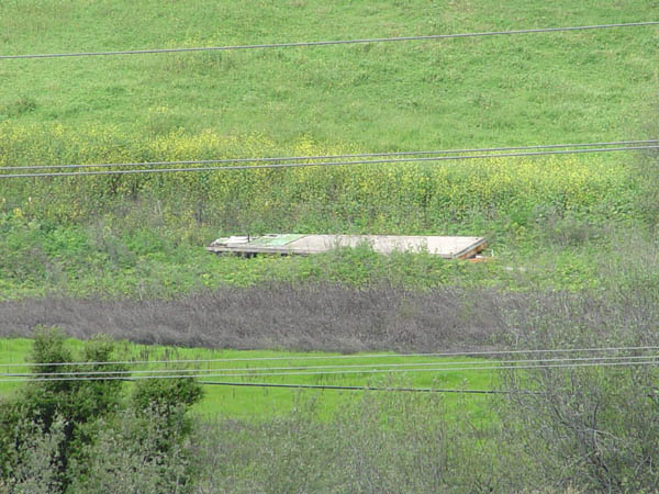
This shot clearly show a section
of the old cement slab. |
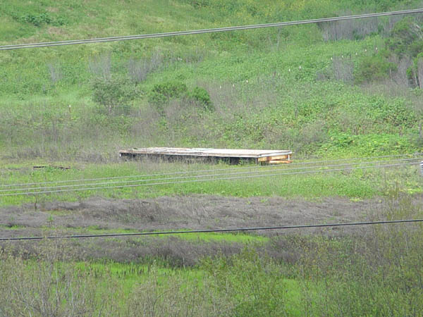 |
This looks like the old cement,
but it appears to have been excavated. |
 |
Another similar spot just north
of the above photo. |
Historic101 Home | Section Home
Copyright ©2003 Historic101.com® all rights reserved