Location #3
This location is just north of the town
of San Lucas. This is where the original pre-1930 route crossed over the SP
Railroad tracks. I was told by several residents originally that the highway
never came down Main St. or crossed over the tracks, but rather, stayed on the
west side through town. But a search of the historical USGS topographic maps
showed clearly that the original route crossed the tracks at this location.
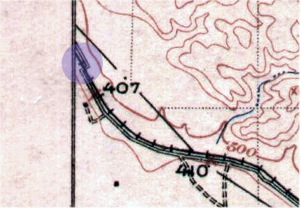 |
This portion of a USGS topgraphic
map printed in 1927 shows the crossing. |
 |
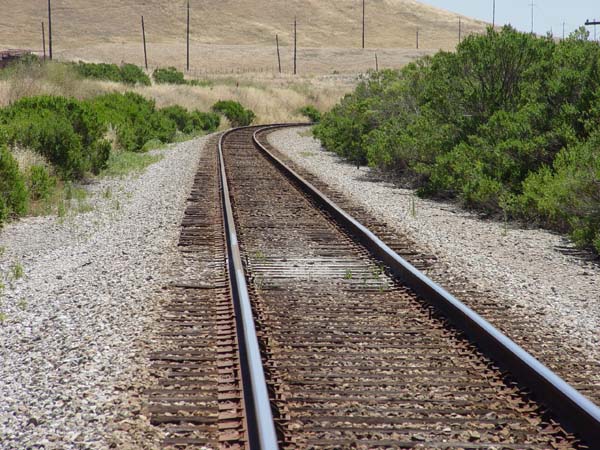
View of the crossing looking west
from the east side of the tracks. |
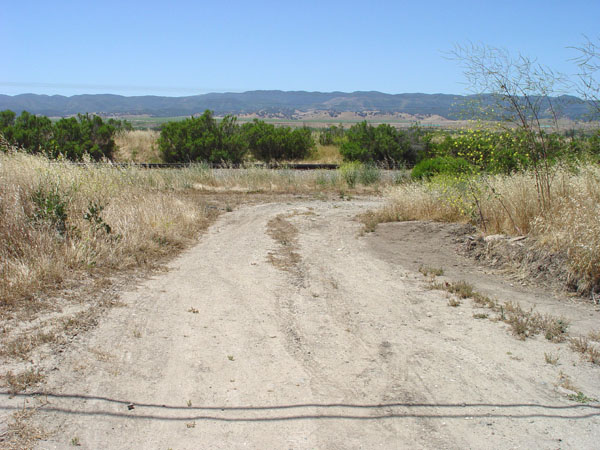
 |
The warn, grey area is about where
the crossing was. View facing south. |
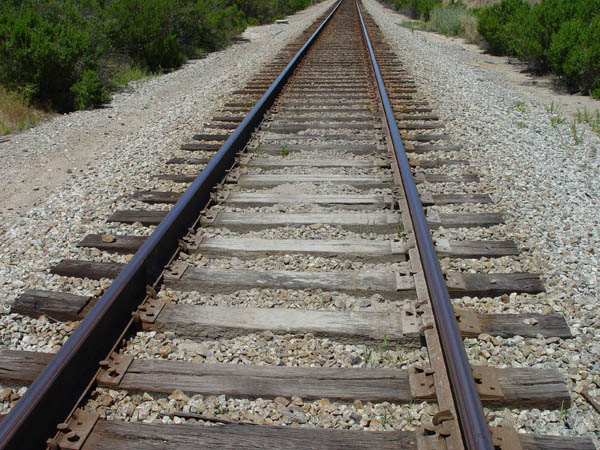 |
Closer view of the worn area. |
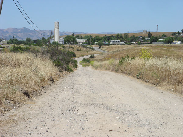 |
This dirt more pretty closely
marks the original route into San Lucas. View looking north. |
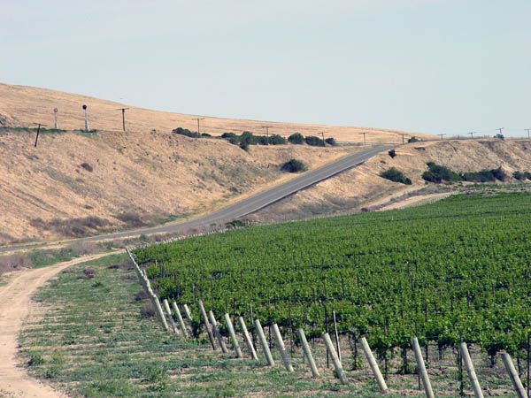 |
This is looking southeast at Cattleman
Rd. just south of San Lucas. This is one of those dangerous dips where
many accidents occurred, especially at night. |
Historic101 Home | Section Home
Copyright ©2003 Historic101.com® all rights reserved