Location #4
This location details the original pre-1930
route of Highway 101 through the town of San Lucas. Basically, it's Main St.,
and there were 3 crossings over the SP tracks. One just north of Rosa St., near
the church, which connected to Lockwood San Lucas Rd. on the west side, one
at the end of San Lucas St., and the last one at the far north end of town near
the west end of Monterey St.. Also included on this page is the icon for the
town of San Lucas... the old grain tower at the south end of town.
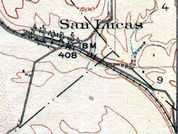 |
This is from the 1919 USGS topographic
map of the area. |
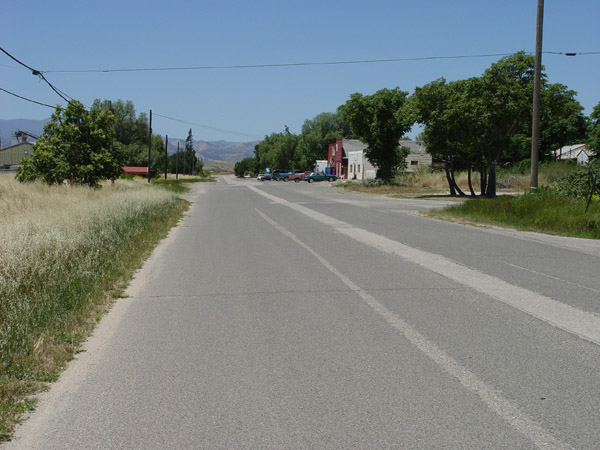 |
View looking north on Main St. |
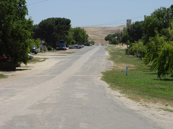 |
View looking south down Main St.
from the north end of town. |
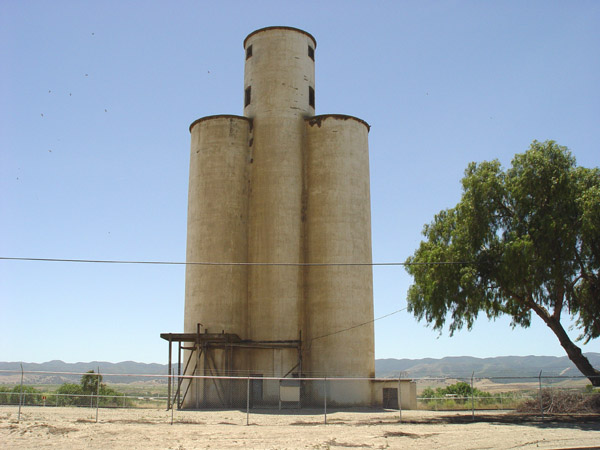 |
The old grain tower near the track
at the south end of San Lucas. |
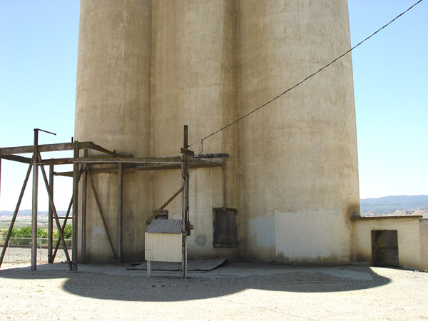 |
Closer view of the bottom of the
tower. |
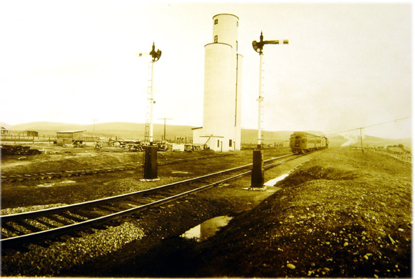 |
A vintage shot of the tower...date
unknown. |
Historic101 Home | Section Home
Copyright ©2003 Historic101.com® all rights reserved